
The area around La Bajada has been continuously settled for generations and has been known by several names throughout it’s history, including “San Miguel de Dominguez”, “San Miguel de la Majada”, “Rancho de San Miguel”, “San Miguel de La Bajada”. This place has been known as the village of La Bajada since 1827.
The Village of La Bajada has a historic pattern of diverse and mixed land uses which has carried through to present including residential, agricultural, and until approximately 1940, also included limited transportation service and transient lodging.
La Bajada is located near the Santa Fe River, which flows out of the canyon. This area has historically been an access route with footpaths connecting the lower lands with the higher mesa.
It was settled in response to the increasing number of travelers using the corridor. The corridor, referred to as El Camino Real de Tierra Adentro (El Camino Real), translated as “The Royal Road of the Interior Lands,” was a major transportation network between Mexico City and northern New Mexico and was the main corridor used by the Spanish while founding the colonies. Along with its use as a transportation corridor, it also served as a source of communication and trade. La Bajada was established as an area of rest before an exhausting trip through the river canyon to the northern communities, including Santa Fe. The area worked well for a settlement since the location of the river created a prime location for agriculture and the escarpment served as protection.
In 1926, during the rise of the automobile era, the El Camino Real corridor became part of the Route 66 switchbacks.

The U.S. Census of 1920 shows the Montoya family as one of the predominant families in the village. By the 1940’s they were joined by the Gallegos, Sanchez, Ortiz, Gonzales, Dimas, Baca, Armijo, Lucero, Valdez, Martinez and Benavides families, among others. With the arrival of the U.S. highway system and the ultimate bypassing of the village in 1932, La Bajada Village struggled to subsist and deal with the massive changes that came in waves over the next eight decades.
In 2005, National Old Trails Road Historic District at La Bajada and Route 66 were listed on the National Register of Historic Places. The district includes six miles of roadway, association structures, the 1926 timber bridge across the Rio Santa Fe and the Walden Tourist Camp.
That the Village of La Bajada has maintained continuous for generations is a testament to the resiliency of the people of the Village of La Bajada. The future of the village is entwined with the continued flow of water in the Santa Fe River, access, land use and the relationships of those that live alongside.
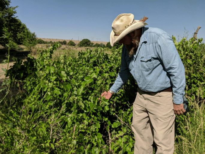
Grapevines in La Bajada 
Water in La Bajada 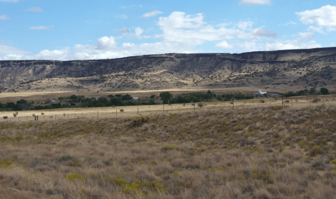
La Bajada views 
La Bajada’s Bridgette 
Alonzo G, the legend 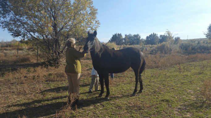
Vangje T 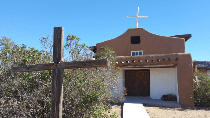
San Miguel Church, La Bajada, NM 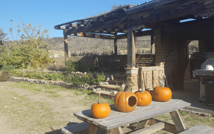
Autumn in La Bajada 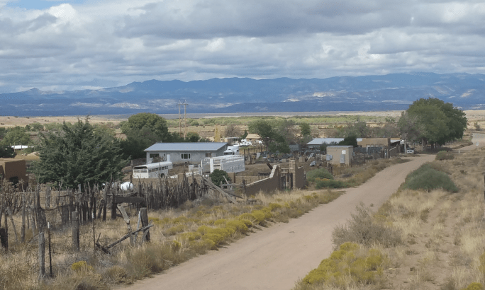
View of La Bajada Village 
New Years Day, 2012
